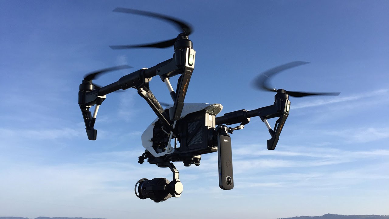
Aerial imaging, also known as aerial photography or drone photography, refers to capturing photographs from an aerial perspective using cameras mounted on aircraft, balloons, kites or unmanned aerial vehicles (UAVs). This technology enables new ways to survey and monitor large areas from above effectively.
History of Aerial Imaging
The origins of aerial photography can be traced back to 1858 when gas balloons were first used to take photographs of Paris from mid-air. However, it was not until World War 1 that aerial photography found widespread military applications for battlefield surveillance and mapping. Later during World War 2, aerial cameras were installed in aircraft to gather strategic intelligence over enemy territories. In more recent times, miniaturization of electronics has allowed the development of small drones equipped with cameras for civilian and commercial uses as well.
Applications of Aerial Imaging
Real Estate – Aerial photographs provide an excellent bird’s eye view of properties that can be useful for marketing residential and commercial landscapes. Details like structures, vegetation and surrounding features are easily visible.
Insurance – Property insurers use Aerial Imaging to geographically map insured structures and properties. This assists with risk assessment, damage assessment during natural disasters and claim processing.
Agriculture – Farmers commonly use aerial photography for tasks like crop monitoring, soil analysis, precision irrigation and yield estimation. Plant health, disease detection and resource management is improved.
Infrastructure – Aerial cameras help engineers and city planners monitor progress of large civil projects like roads, bridges and highways. Infrastructure mapping aids urban planning as well.
Disaster Management – Government agencies deploy drone fleets after floods, earthquakes and fires to assess damage swiftly. Rescue operations benefit from a broader view of terrain across wide areas.
Environment – Conservation groups employ aerial imaging to study vegetation, spot illegal logging, monitor animal habitats and track effects of climate change over natural landscapes.
Advantages of Aerial Imaging Systems
Versatility – A single UAV equipped with cameras can perform surveillance, mapping, inspection and other imaging applications effectively for different sectors.
Cost Savings – The reduced need for manned aircraft, helicopters or satellite imagery results in significant budget savings compared to traditional methods.
Speed – Drones provide near real-time imaging and can cover large swathes of terrain rapidly to support time-critical operations.
Safety – Deploying drones over hazardous sites such as disaster zones carries less risk than exposing human pilots or support crews.
High Resolution – Modern camera drones are capable of very high megapixel photos and video that capture minute features from above.
Rise of Commercial Drones
The commercial drone has witnessed rapid growth worldwide in the last decade due to inexpensive multi-rotor Aerial Imaging crafts becoming widely available. Many industries now leverage specialized drones integrated with tools like thermal cameras, hyperspectral sensors based on specific needs. Drone service providers also offer aerial surveying applications as a service to other sectors. Regulatory reforms continue to expand approved commercial usages of this technology in various domains.
Future Prospects of Aerial Imaging
With continuous technical improvements, the capabilities of drone cameras are increasing at a dramatic pace. Longer flight duration, higher payload capacity, superior cameras, artificial intelligence (AI)-based automation and low noise electric propulsion will allow drones to gather imaging data over larger areas for extended periods. Advanced computer vision will process petabytes of aerial imagery to provide insights and intelligence for various commercial, agricultural and infrastructure verticals. The field of aerial robotics will also witness proliferation of specialized drone types like fixed-wing crafts adopting new sensor fusion technologies. As regulations evolve, aerial imaging has tremendous potential to transform many industries in the coming decade through its ubiquitous low-cost aerial data collection abilities.
*Note:
1. Source: Coherent Market Insights, Public sources, Desk research
2. We have leveraged AI tools to mine information and compile it.


